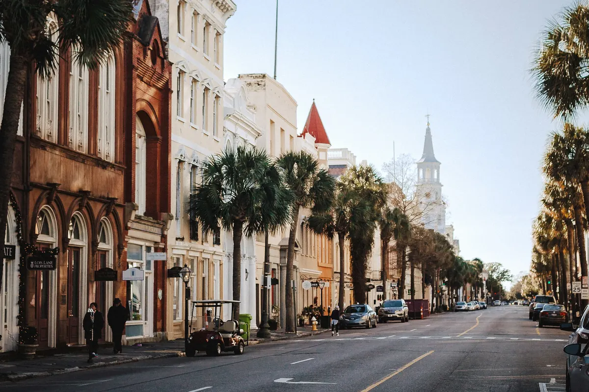
Where Charleston floods, and what neighbors say about it
Read enough local flood threads and the same streets come up every time: King and Huger, the Market, Hagood Avenue, Harbor View Road, parts of Shadowmoss. The pattern behind them is simple. Hard rain at high tide has nowhere to drain, and the harbor gauge now reaches flood stage on about 51.5 days a year.
On this page
The neighborhood list below comes from what residents describe in public Charleston forums, not from a city survey. Flooding on a given street depends on drainage and ground height as much as on the tide. Use it as a reason to check, not as a verdict on any house.
The spots residents name again and again
- The peninsula. King and Huger, Meeting Street near the Market, and the Market itself fill up in heavy rain. Residents near King and Huger describe watching cars stall there in nearly every storm.
- Hagood Avenue and the medical district, near Gadsden Creek, where people say water sits after storms and small sinkholes have opened in the road.
- James Island: Harbor View Road just past the Connector, and Willow Walk.
- West Ashley: Air Harbor, and the low parts of Shadowmoss along Church Creek. Longtime residents there say flooding got worse as newer neighborhoods were built up higher nearby.
- I-526 near the Glenn McConnell exit, which floods often enough that locals post it as a running joke.
- Yonges Island and the rural roads south of West Ashley, where water flows over the road in big storms.
- Cane Bay and the newer Berkeley County subdivisions, where people who work outdoors describe heavy clay soil and retention ponds that fill and stop absorbing water.
North Charleston and the Mount Pleasant side of Highway 41 come up less often, with a few low spots near the old Navy base.
Why it floods on a sunny-day tide, or in rain at low tide
Two things fill these streets. The first is the tide. The NOAA gauge in Charleston Harbor reached the National Weather Service minor flood stage of 7 feet on 51.5 days a year on average over 2016-2025, about double the 26.3 of 1992-2020. Fall is the peak: October averages 10.2 days. The NWS action stage is 6.5 feet, and residents who have watched it for years say trouble starts around there.
Average days at minor flood stage, by month
The second is rain. Much of the peninsula is filled-in marsh at nearly sea level, and the drains empty toward water that may already be high. A heavy downpour can flood streets at low tide; the same downpour at high tide is much worse. Inland, the problem is soil and ponds rather than tide, which is why Cane Bay and Shadowmoss flood with no king tide at all.
What locals say makes it worse
- Wakes from trucks. Every flood thread has someone pointing out that a pickup plowing through a flooded street pushes a wave into doorways and crawl space vents. If you are driving, slow down or turn around.
- Clogged storm drains. Leaves and trash on a grate back water up the street. The City of Charleston's Adopt-a-Drain program asks residents to check an adopted drain weekly and clear debris around it.
- New fill next door. When a new subdivision is built up higher, the water it used to hold goes somewhere else. Residents of older West Ashley neighborhoods describe exactly that.
When the water reaches the house
- Stay out of moving or deep water, and away from anything electrical it touches.
- Photograph the water line inside and out, with the date, before you clean anything.
- Check the crawl space once the street drains. Water and mud under a raised house is out of sight, and it is where the mold starts. The EPA says to dry wet materials within 24 to 48 hours.
- Treat it as contaminated. Street flood water is mixed with whatever the storm drains carried, and near the harbor it is salt water too. Soaked carpet and drywall usually come out. Flood cleanup.
- Know which policy applies. Water rising from outside is a flood policy claim, not a homeowners claim. Insurance in South Carolina.
And the car
Flooded-street stories end the same way: a car driven into water deeper than it looked, and a total loss. Salt water is especially hard on electrical parts and brakes, and damage can show up days later. A flooded car is a question for your auto insurer, not your home or flood policy. Don't start a car that sat in deep water; have it towed.
Before you buy or rent near the water
- Look up the address's flood claims history in our ZIP code table, and ask the seller or landlord directly whether water has come in.
- Check the City of Charleston's TIDEeye map, a flooding resource the city publishes.
- Walk the street after a heavy rain at high tide if you can.
- Look under the house. Mud lines on the piers, a wet vapor barrier or rusted duct straps tell you what the seller may not.
Questions Charleston homeowners ask
Why does my street flood when it isn't high tide?
Heavy rain can outrun the drains on its own, especially on filled marsh at nearly sea level or on heavy clay inland. When rain and a high tide line up, it gets much worse, because the drains empty toward water that is already high.
Which Charleston neighborhoods flood most often?
Residents most often name the peninsula around King and Huger and the Market, Hagood Avenue, Harbor View Road on James Island, and parts of West Ashley such as Air Harbor and Shadowmoss. Flood insurance claims by ZIP code on our data page tell the longer story: downtown 29401 and Isle of Palms have the most on record.
Do I need a flood policy if I'm not in a high-risk zone?
It's worth pricing. In the three counties, 12% of paid federal flood claims were on properties rated outside the high-risk A and V zones. A new policy takes 30 days to start, so it can't be bought once a storm is forecast.
Sources
- NOAA CO-OPS: Charleston, Cooper River Entrance, station 8665530
- NOAA National Water Prediction Service: Cooper River at Charleston Harbor (CHTS1) flood categories
- NWS Charleston: Coastal Flood Event Database
- OpenFEMA: FIMA NFIP Redacted Claims data set
- City of Charleston: TIDEeye flooding map
- City of Charleston: Adopt-a-Drain
- US EPA: A Brief Guide to Mold, Moisture and Your Home (updated February 18, 2026)
- SC Department of Insurance: Hurricane Preparedness
- FloodSmart (FEMA NFIP): What's Covered
- FloodSmart (FEMA NFIP): Buy a Flood Insurance Policy